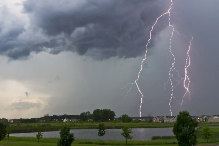
Severe Thunderstorms Warnings Across U.S. Midwest
The U.S. Midwest is no stranger to severe weather, but 2025 has seen an escalation in dangerous thunderstorms, bringing damaging winds, flash flooding, hail, and tornadoes. Millions of residents from the Dakotas to New England have faced repeated severe weather alerts, with meteorologists warning of prolonged risks through late July.
Key Impacts of the Severe Weather Outbreak:
1.Hail and destructive winds:
- Midwest Gusts Exceed 80 mph: In the state of Iowa, Carroll recorded a wind gust of 82 mph, while a microburst in Chicago reached 80 mph, bringing down trees and power lines.
- Hail and Wind Threats Expand: Major cities like New York and the city of Philadelphia are in danger as severe storms are predicted to move into the Northeast, with gusts of up to 75 mph possible from Maine to Philadelphia.
2.Life-Threatening Flash Flooding:
- Kansas City Submerged: Flash Flood Emergencies were caused by torrential rain, which dumped 9–12 inches of rain in some places. After being washed into a flooded creek in Overland Park, Kansas, a 62-year-old man died.
- Repeated Downpours: Training thunderstorms are repeating over the same locations due to a blocked front, and rain totals of at least four inches are predicted from Kansas to Iowa. Vehicles are stranded as a result of urban flooding overflowing storm drains.
3.Threat Zones & Key Hazards:
- Upper Midwest (IL, IA, MO, WI, MN): It was forecast that there would be severe thunderstorms, many of which would produce high winds, large hail, and brief tornadoes. It was likely that some of the formations will grow into squall lines or clusters that might do significant damage.
- Northern Great Plains (Dakotas, Nebraska): With the possibility for upscale organization before evening, high-based storms with moderate moisture and high winds shear generated concerns about wind and hail damage.
4.Heat and Storm Collide:
- Northern Edge of Heat Dome: Along the edge of a burning, storms are forming. heatwave, where cooler and humid air clashes. This instability fuels explosive thunderstorm development.
- Post-Storm Heat Surge: Kansas City may experience temperatures of 100°F or higher after flooding, making recovery operations harder.
Safety Recommendations:
- Stay alert: Monitor SPC outlooks and local NWS/NOAA warnings into the evening.
- Know your risk: Prepare for possible tornadoes; night storms are especially dangerous because of decreased visibility and shorter warning periods.
- Take heat precautions: Severe storms and high heat index values increase the risk of heat-related and weather-related illnesses.
- Protect property: Secure outdoor items, park vehicles under cover, and avoid driving during or immediately after squall lines.
The storm system is expected to move eastward, bringing severe weather to the Northeast through early next week. Although these storms can be frightening, you and your family can stay safe if you are prepared and know what to do. Watch the weather, pay focus on warnings, and see if any relatives or neighbors need help.
For More Article>https://www.climatechallange.com/severe-weather-strikes-tornado-warnings-and-thunderstorms-sweep-through-central-indiana/